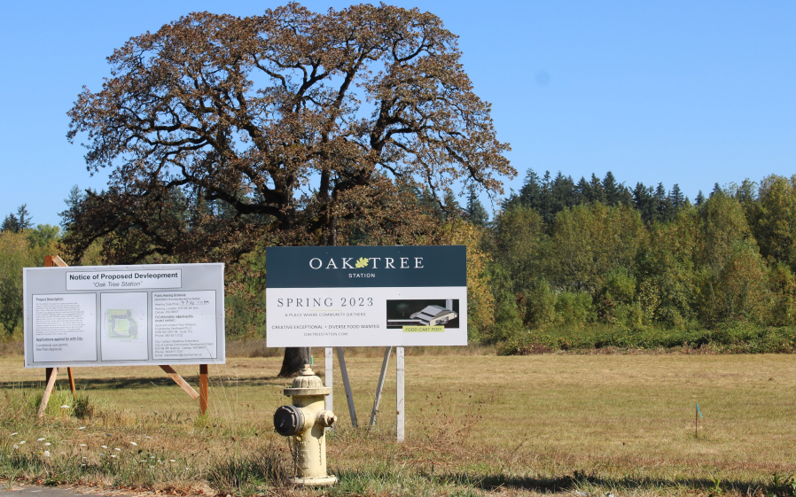
Wondering what that “notice of development” sign down the road is all about? If you live in the city of Camas, there’s now an easy way to find out.
The city recently launched its user-friendly development map showing the status of nearly 400 development projects that include everything from boundary line adjustments and permits to build something small, like a carport, to mixed-use developments with hundreds of residential units.
The new map allows users to look up specific projects, view them by date or project type and zoom in to see the project’s status.
“This is another tool for the community, another way for us to reach the public and let them know what’s going on,” said Camas Director of Communications Bryan Rachal. “We’ve tried to make it as accessible as possible, and to make it really user-friendly.”
Ken Pearrow, the city’s new geographic information system (GIS) coordinator, said he wanted to build a dashboard that would entice users curious about the city’s many development projects.


